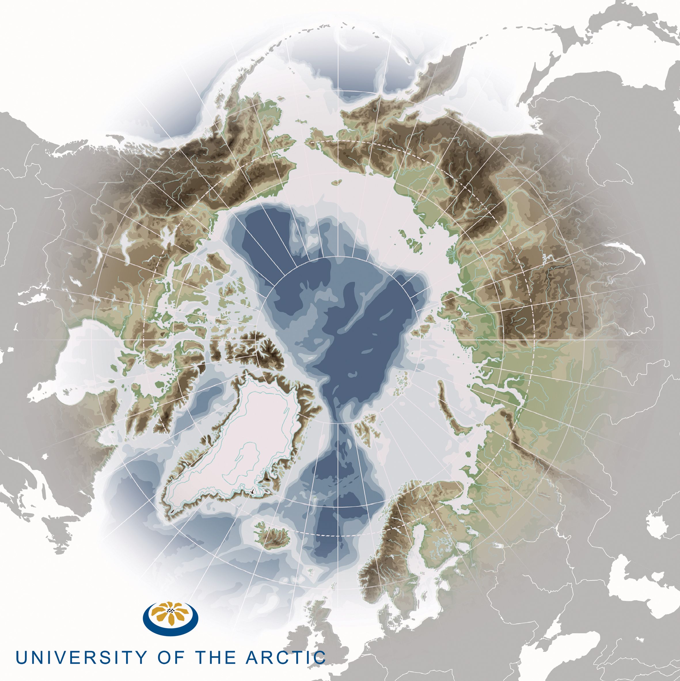
UArctic Atlas to Launch in January 2009 in Tromso
Fri, Dec 19, 2008
 The UArctic Atlas will go online on January 23, 2009 with the official launch at the SIU Higher Education – A Key to Future Development in the High North conference in Tromso, Norway.
 The UArctic Atlas is being developed as an important learning tool for students across the region, as well as anyone interested in the geography of the Arctic. It will present a visual and geographic overview of the Arctic region, including its physical environment and socio-cultural life. The UArctic Atlas will also feature map layers that users can open in Google Earth, allowing them to visually overlay different aspects of the Arctic on a virtual globe. You can try out a few demonstration examples and find out more about the UArctic Atlas here.
